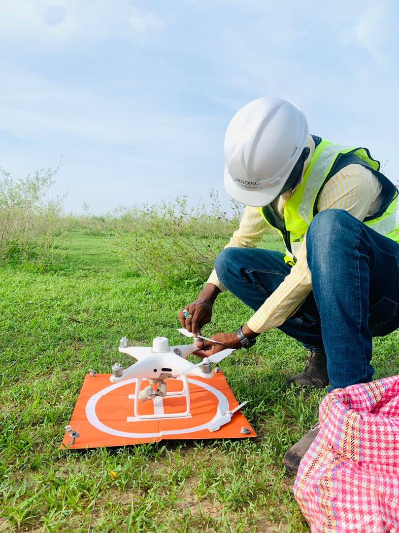
RTK drone surveying guarantees centimetric accuracy, surpassing conventional methods, and delivers geospatial data with enhanced precision. Its use enables topographic surveys, inspections and mapping to be carried out much faster than traditional methods.
- Topographic surveys over large areas.
- Digital terrain model
- Agricultural crop analysis
- Site management


